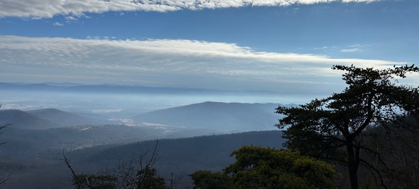
What is the first hike that comes to mind, when you think of the Northern Virginia area? Probably the trek up Old Rag Mountain in Shenandoah National Park, which is no surprise given that Old Rag is said to get over 80,000 visitors according to an article by Northernvirginiamag.com. But if you want to avoid the crowds and still get the stunning scenery and fun rock-scramble , we recommend the 4.5 out-and-back Big Schloss Hike in George Washington National Forest.
Location
The GWNF feels much more wild compared to the tourist-filled Shenandoah National Park. Despite the feeling of being remote, it is still only a two-hour drive from the heart of Washington, D.C., making it an easily accessible weekend or day escape. Here are Google map pins of the parking area and where the trailhead is located within the forest:
Wolf Gay Day Use Parking Area: https://maps.app.goo.gl/BeJm5Z5WQasxkj4y5
Access to Trailhead: https://maps.app.goo.gl/w3NmXaWijqBAVfhRA
Dog-Friendly
The hike is dog-friendly for the most part. It may be difficult for some dogs to reach the top of the actual summit because of the slight scramble at the end, but your dog can enjoy most of the trail without issues. Remember to pick up after your dog if they need to go to the bathroom, and pack that trash out with you when you leave! Here are some dog poo bags we personally love as they are compact, easy to use and help to keep our trails and parks clean!
CLICK HERE: Eco-Friendly & Affordable Dog Poo Bags
Crowds
We hiked the trail on Christmas Eve to continue our tradition of squeezing in a hike during the holidays. We were not sure what to expect from the hike in terms of crowds but we ended up passing only seven groups along the trail consisting of solo hikers, families, couples, friend groups, etc. While this was a holiday, so the crowds may have been less than normal, the amount of groups/people that can access the location (based on the limited parking alone) pales in comparison to the crowds you will find on the Old Rag Hike.
How to Prepare
Before leaving for the hike, be sure to map out your route while you have Wi-Fi or cell connection, because you will most likely lose service as you drive the winding road to the trailhead. Also, be sure you are adequately dressed for the weather, including proper footwear. As with most hiking trips, we recommend checking the weather ahead of time and wearing layers that are easy to take off and put back on.
The top of the mountain can be chilly, especially on a windy day (fully exposed summit). If you are worried about your hands or feet getting a little too cold, then you can also bring these nifty and easy-to-use/store/carry handwarmers or invest in a rechargeable handwarmer that can be reused and easily recharged.
How Long It Will Take You to Hike
Most websites put the time at around 2 hours and 15 min to 2 hours at 45 minutes to complete; It took us 2 hours and 40 minutes with a 20+ minute stop at the summit and several stops at outlooks along the ridge to soak in the spectacular views.
So even if you take your sweet time, marveling at the dozens of vistas, and take a relaxing rest at the top, you’ll be able to do this in 3 hours or less.
Where to Park
There is a small parking lot about 50 yards from the trailhead with restroom facilities (pit toilet, no running water) that are just a stone’s throw away. Keep in mind that the parking lot was getting close to full with just those nine cars so if you are worried about not getting a parking space, arrive earlier in the day to grab your spot.
Hiking the Trail
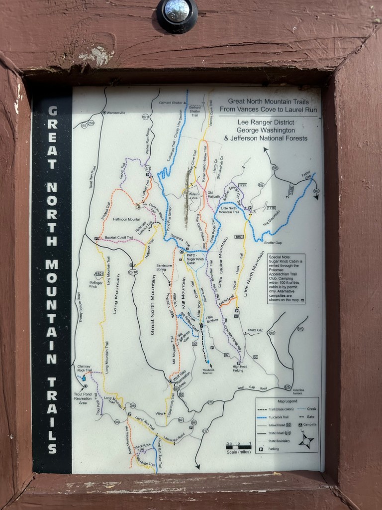
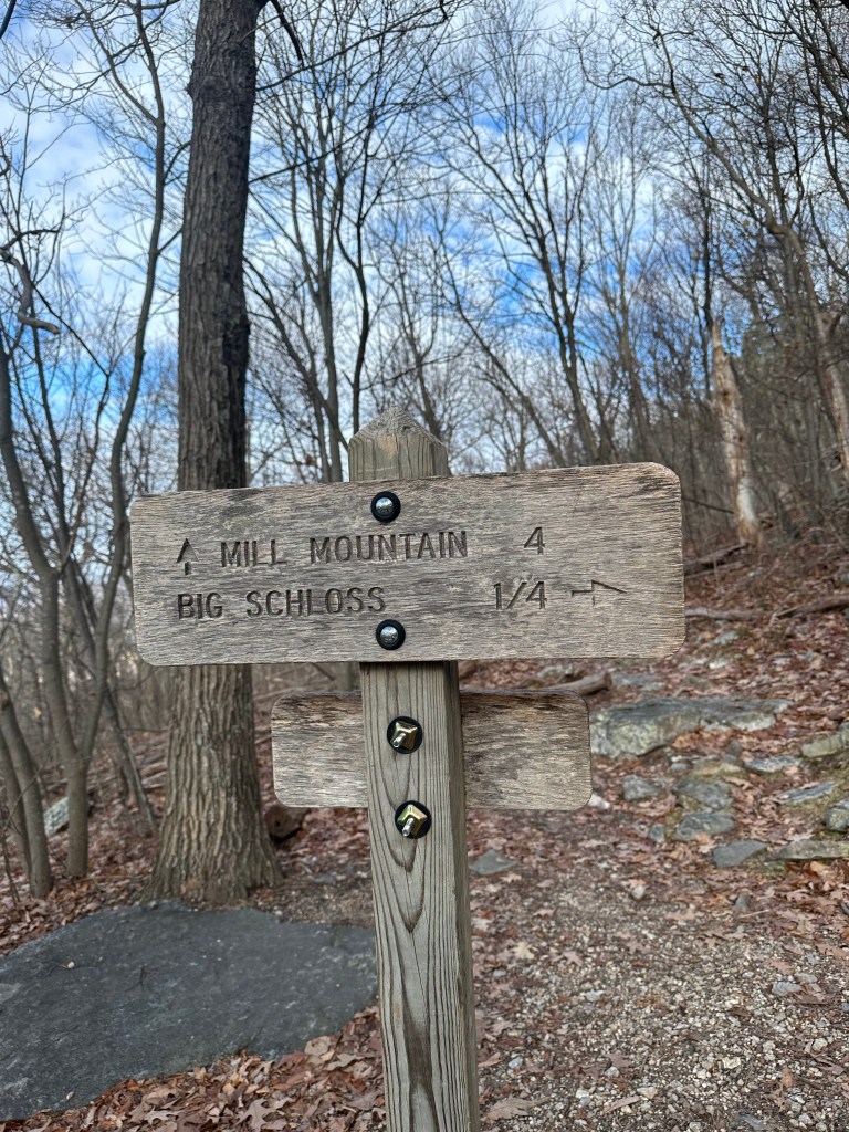
Once you arrive at the Wolf Gap Day Use area and park your vehicle in the parking lot, you can access the trailhead by walking north, out of the parking lot, and past the restroom facilities. Follow the paved road and you will see the trailhead up ahead on your right after about 50 yards. There should be a map and wooden sign marking the trailhead.
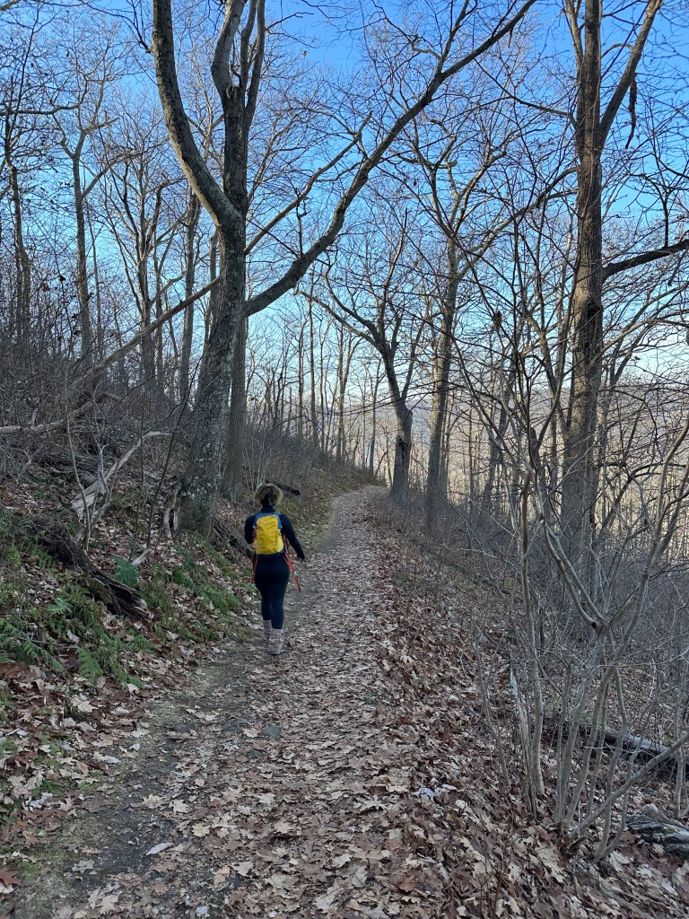
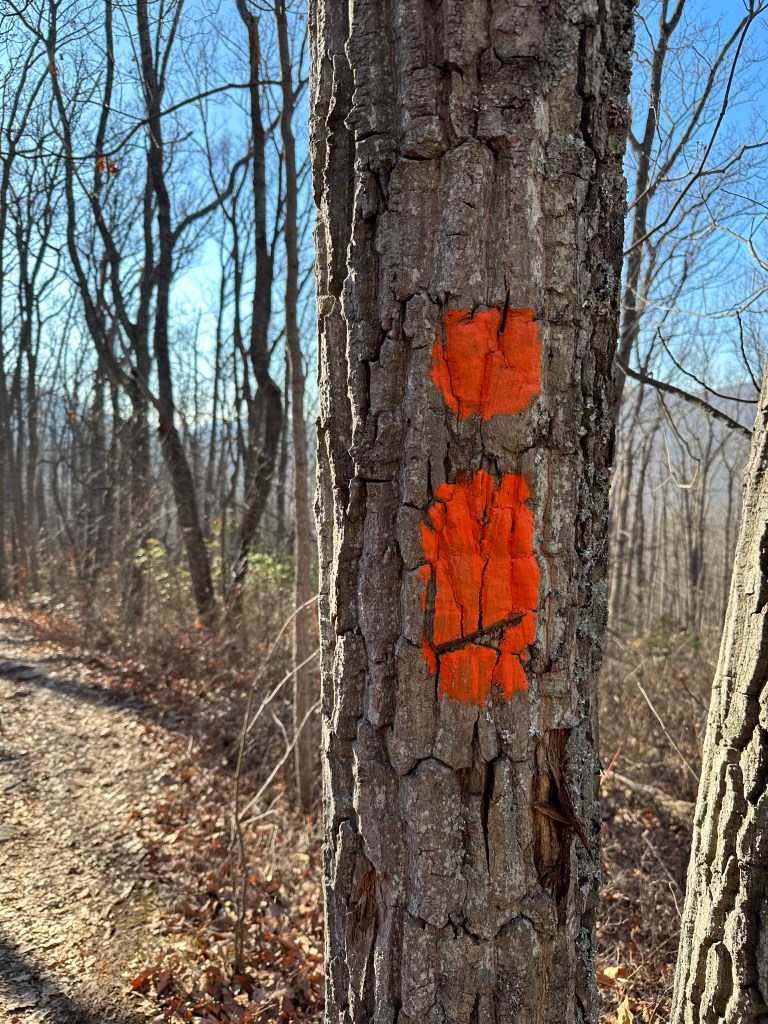
The trail has plenty of distinct orange trail blazes marking the way. The first half-mile of the hike has a gradual incline that will get you warmed up. Right as you reach the end of the first ascent, you can opt to take a spur trail to the first overlook, which looks south towards Wolf Gap.
Once you make it to the ridgeline, the terrain evens out and there are a couple false summits along the way. It can be difficult to get to the actual summit because there are so many beautiful vistas along the way. Add some extra time to your hike so you have plenty of time to take it all in.
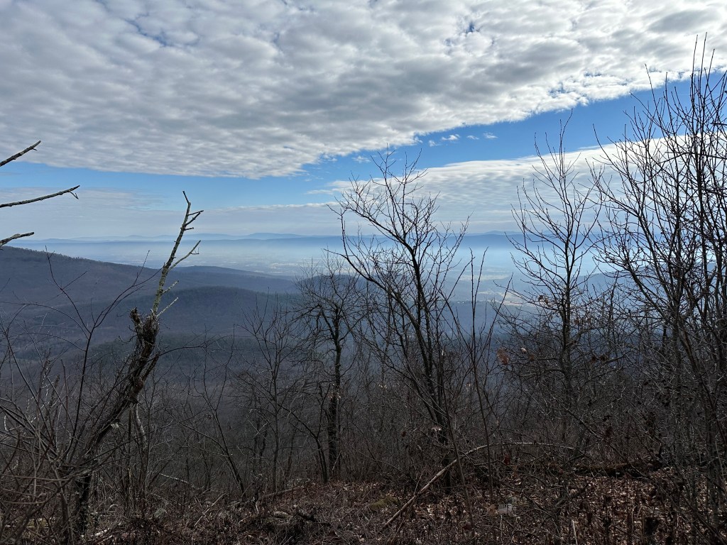
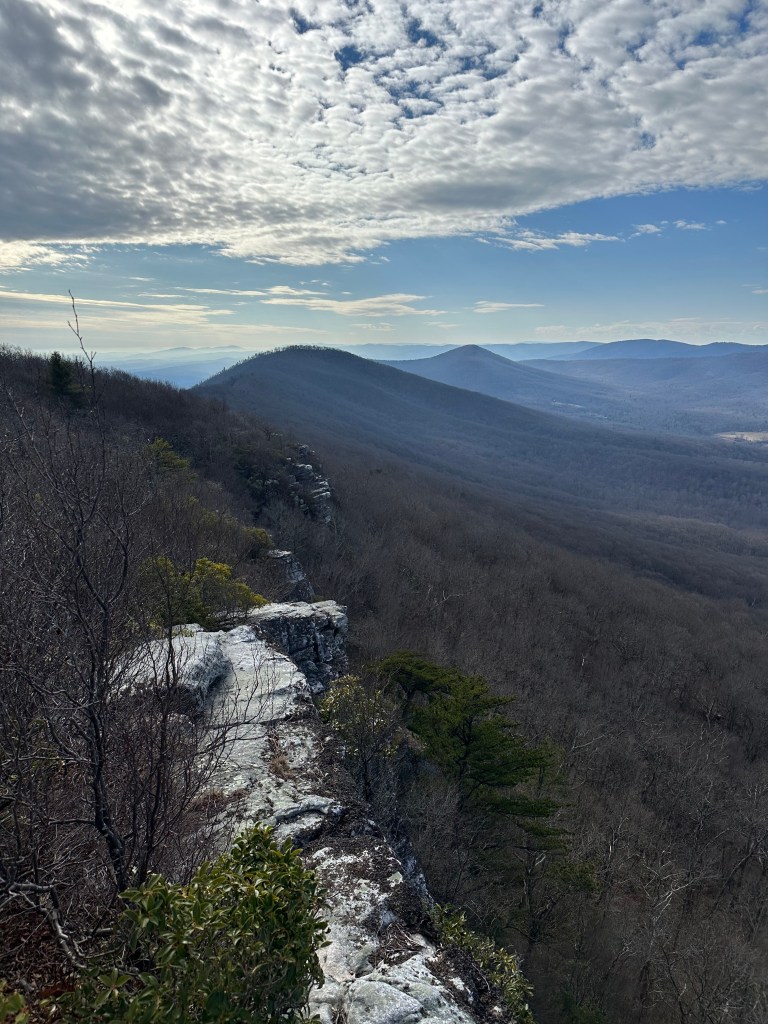
There are also campsites near the summit! It is free to camp but keep in mind, there is no access to water, so make sure you bring plenty of water. We did not personally camp, but will be returning to do so as we think there will be fantastic stargazing at night. We will post an additional article once we have that adventure! For more information on camping, follow this link from the USDA.gov website.
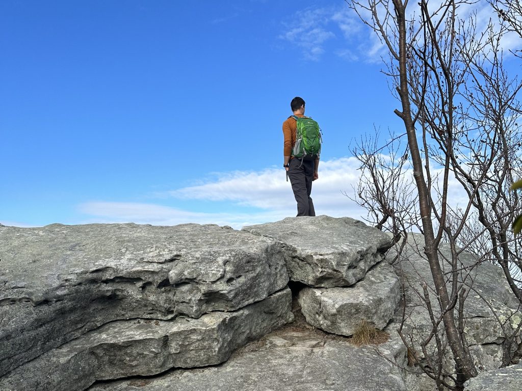
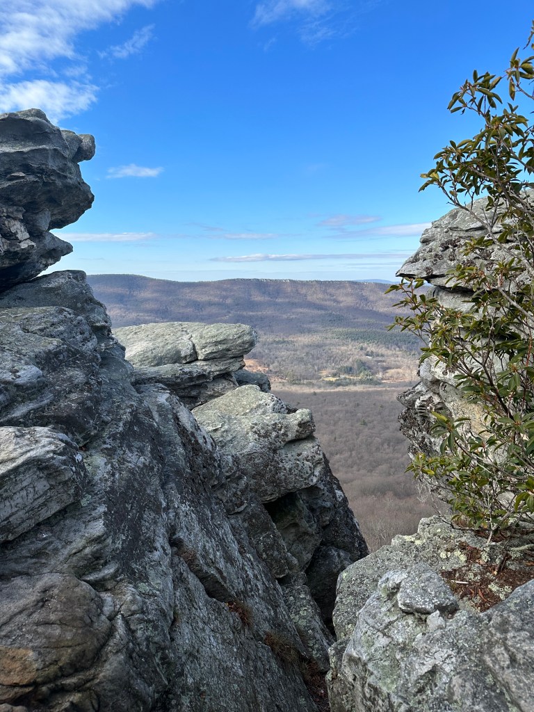
Once you get to the summit, there is a bridge that helps you over some of the rock scramble. Your legs may get a little shaky as there are steep cliffs and large rocks on the way to the top. We missed the path to the right that led directly to the summit and went on a bit of a roundabout way that took us a little too close to the cliff edge for comfort, but it was still beautiful.
The Return Hike
Since it is an out-and-back, you will be returning the way that you came. We were able to complete the descent in just over 30 min. We didn’t think we were moving particularly fast, but we also didn’t stop as much along the way down since we had already taken time to marvel at the scenery with plenty of pictures and video on the way up.
Best Time of Year to Hike
We recommend hiking this trail during the Winter or after the leaves have fallen off the trees because you have almost 360 degree views through the hike especially once you reach the first false summit. We have not visited the trail in the spring or summer, but when we do, we will post and update.
Please let us know in the comments, if you have hiked this trail and what your experience was like!
Thanks for stopping by our blog!

